

Up to the minute
Weather today
Temperature
12 °C / 29 °C
Sunshine hours
12 h


Weather forecast for Kappl
How’s the weather?
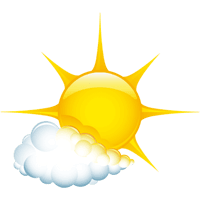
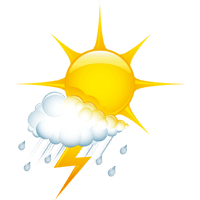
High-pressure systems and hot air masses of subtropical origin will determine the weather in the coming days. As a result, the sun will shine for longer periods again on Wednesday. However, conditions will be somewhat unstable at times, leading to the formation of a few thicker cumulus clouds in the afternoon, starting from the mountains of the main Alpine ridge. This may result in isolated heat thunderstorms. On Thursday, the sun should dominate until the evening, and it will get really hot. The risk of thunderstorms remains low. We expect this new heat wave to peak on Friday, when the sun will also shine frequently. Later in the day, the risk of thunderstorms will increase slightly. The weekend will remain hot and often sunny, but a few heat-induced thunderstorms are also expected in the afternoons and evenings.
CURRENT WEATHER SITUATION
LIVE from KAPPL
scroll
Live from Kappl
CURRENT KAPPL WEATHER SITUATION
Your stay in Kappl is approaching - now it's time to pack your bags! Important now: a precise weather forecast. But in Kappl, no weather forecaster is needed. The latest data and live images are available via webcam .


Stay Tuned & Stay involved
What inspires – and what matters